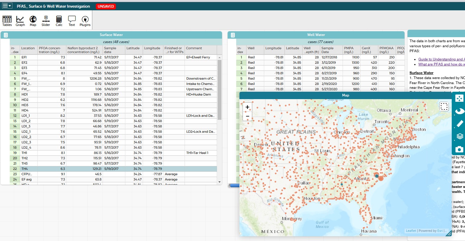
I have Longitude and Latitude columns in my dataset, but when I open the map function, it is picking up airport locations from all over the country in addition to the Lat/Long locations in my dataset. I can highlight all of my data and click to “Hide Unselected” cases to get rid of them, but that is an extra step for students and slows free exploration.
It was working normally a couple of days ago. I am working via a sharable link that I created, but I didn’t add any airport information. If I open a new CODAP file and paste in the data from the original Google Sheet, the map works fine.
 .
.