Select Data on a Map
When you select data on a map in CODAP, the corresponding cases will be highlighted in all tables, graphs, and/or maps. Likewise, if you select data in a table or graph, the corresponding points/boundaries will be selected in any maps you have open in CODAP. This provides a simple but powerful technique for exploring your data.
The method of selecting data in a map depends on whether the map is displaying points or boundaries (see Introduction to Maps for more information on the differences between maps with points and maps with boundaries).
Selecting data on maps with points
- To select a single point on the map, click on the point on the map.
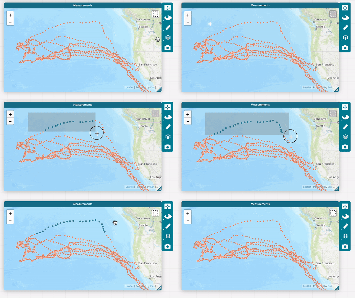
- To select multiple points on the map click on the dotted square in the upper right corner (the marquee tool) and drag across the points you wish to select (see the GIF below). To deselect points on a map, click on any spot on the map that is not a point. You can also select multiple points on a map by holding down the Command key (on Macs) or the Windows key (on Windows) and clicking on each point that you wish to select. If you have color coded points by dropping an attribute on the map, you can click on a color in the legend to select those points.

Selecting data on maps with boundaries
- To select a single area/boundary on the map, click on the boundary of interest.
- To select multiple areas/boundaries on a map, hold down the Command key (Mac) or Windows key (Windows) and click on each boundary area you wish to select. To deselect the areas, click on any part of the map that does not have boundaries. Or, if you have added an attribute to your map, you can click on a color in the legend to select the boundaries corresponding to those values on the map. To select multiple colors in the legend, hold down the Shift key while clicking on additional colors in the legend.
To learn more about maps in CODAP, visit the Introduction to Maps page.